High-quality training data powering geospatial models to detect and extract real-world objects and events from aerial and satellite imagery through computer vision and AI.
Data Annotation & Labeling for AI-Driven Geospatial Modeling
Boost the accuracy and efficiency of your geospatial ML models with precisely annotated Earth observation image libraries. Cogito’s expert data annotation and labeling services empower you to build, scale, and deploy AI-driven geospatial applications tailored to your needs.
Techniques for Geospatial Data Annotation
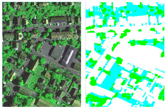
Segmentation Techniques: Instance & Semantic
Coral Mountain Data’s computer vision experts use pixel-level segmentation and annotation of geospatial images to develop algorithms for object detection and tracking.
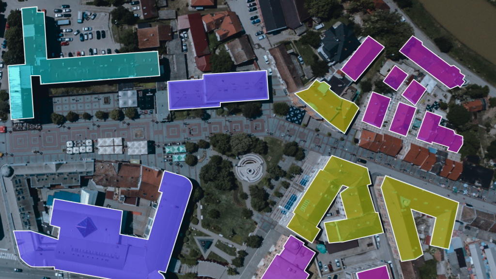
Polygon Annotation
Our expert annotators plot points on every vertex of the target object, ensuring polygon annotation captures even the most complex shapes with precision.
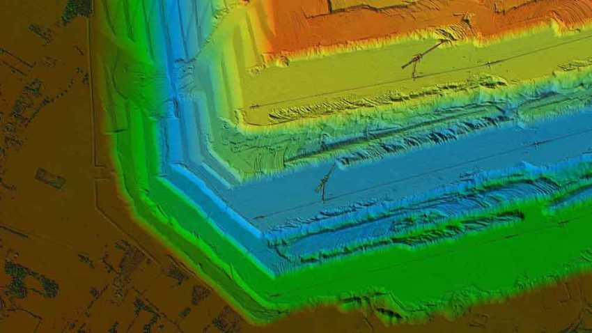
Lidar Annotation
By annotating imagery captured through multisensory cameras with 360-degree visibility, Coral Mountain Data’s specialists generate high-quality training datasets for machine learning models.
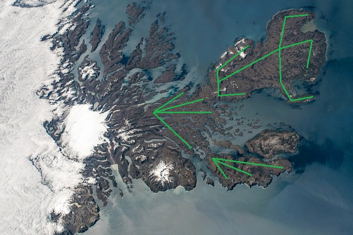
Key Point Annotation
Key point annotation supports AI development by marking precise locations and minor geospatial features to identify small objects and shape variations.
Geospatial Data Use Cases
In addition to capturing spatial and temporal data, the method supports the creation of maps, graphs, statistical models, and cartograms to deliver a comprehensive understanding of geophysical events and site assessments.
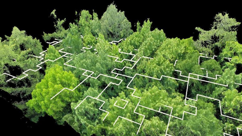
Field & Forest Analysis
AI helps protect flora and fauna by analyzing drone-captured aerial imagery of forests and agricultural fields. Annotating forest activities in these images enables ML models to detect and manage forest environments more effectively.
Logistics & Supply Management
By applying AI-enabled automation and predictive analytics, logistics and supply chain specialists can visualize routing decisions on maps to identify the most efficient routes and scheduling options.
Aerospace & Defence
By leveraging real-time data analysis and visualization, geospatial agencies and operators can identify potential threats. Updated databases ensure that geospatial insights and location intelligence are available to both technical and non-technical users.
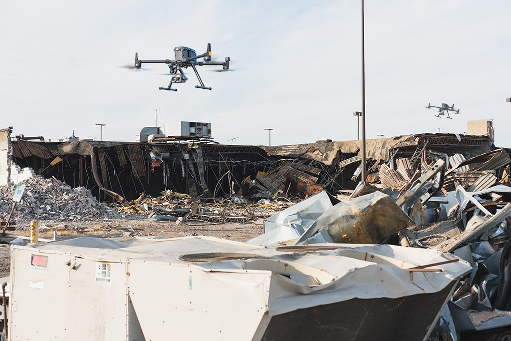
Construction & Mining
Machine learning and AI are being applied to optimize project planning and monitor construction progress. On construction and mining sites, AI-driven systems enhance safety protocols while minimizing operational expenses.
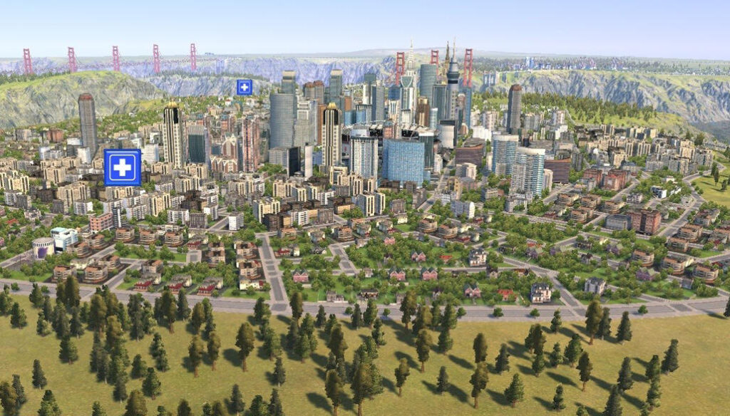
Urban Area Management
Civil engineers and architects leverage geospatial machine learning to plan and manage urban areas. Annotated geospatial data enables cities to train AI, big data, and ML models for smarter development.
Disaster Management
Civil engineers and architects leverage geospatial machine learning to plan and manage urban areas. Annotated geospatial data enables cities to train AI, big data, and ML models for smarter development.
Your Trusted Geospatial AI Data Partner
Through our worldwide network of geospatial partners, we provide tailored training data to support diverse applications. Our AI data practices are grounded in strong ethical principles, ensuring GDPR and CCPA compliance, certification, fair pay, and a commitment to diversity and inclusion.