Core Capabilities
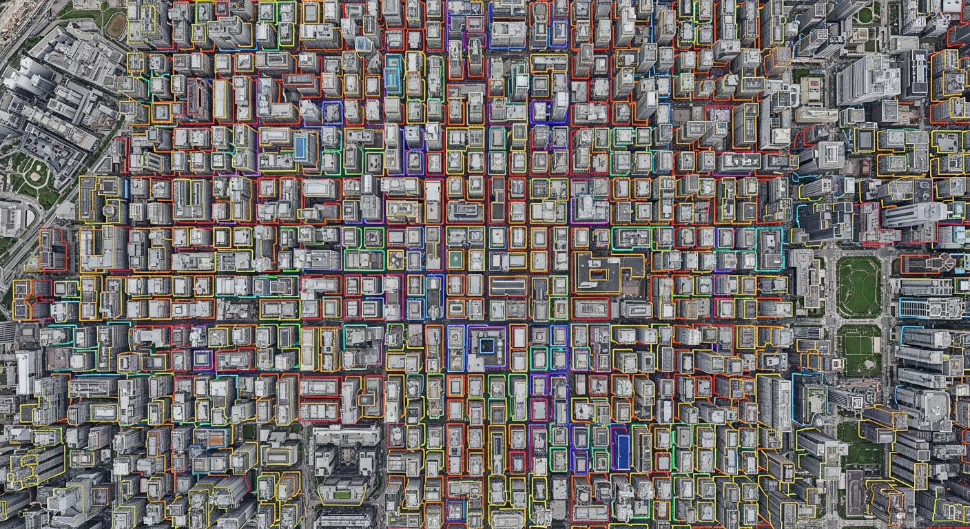
Building Footprint Extraction
Drawing precise polygons around structures for urban planning and disaster recovery assessment.
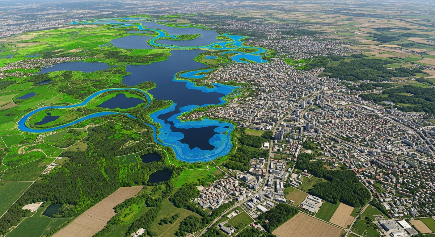
Land Cover Classification
Pixel-level semantic segmentation of forests, water bodies, agricultural land, and urban areas.
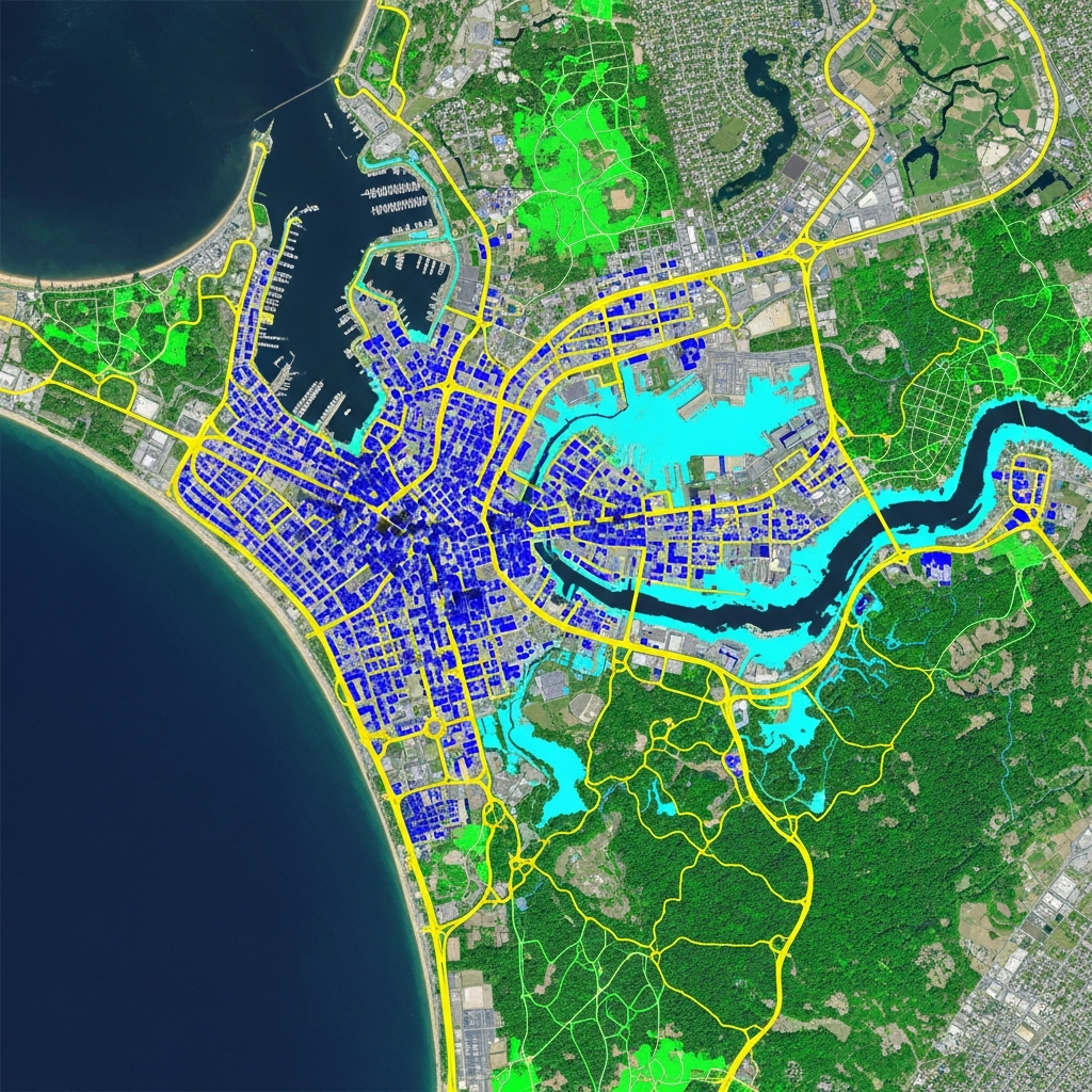
Road Network Mapping
Tracing polylines for streets, highways, and intersections to update digital navigation maps.
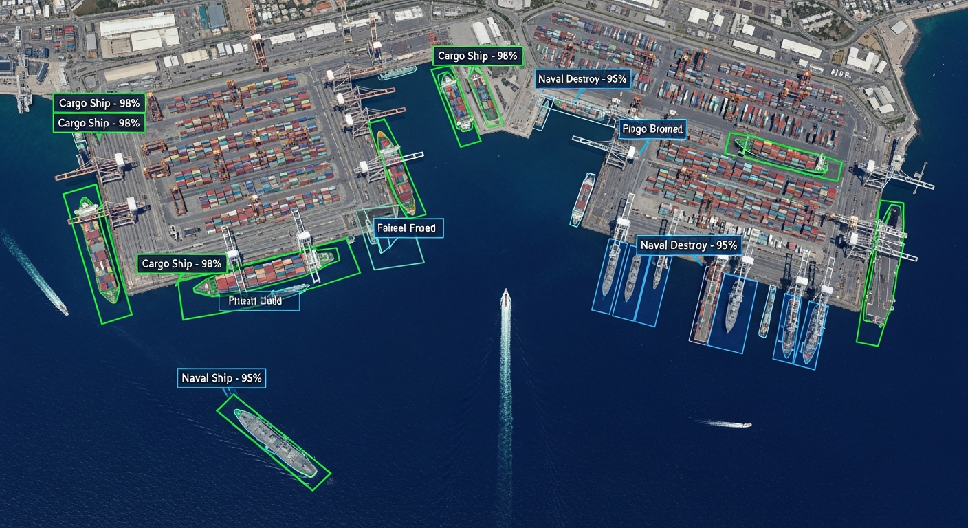
Object Detection (Aerial)
Identifying small objects like vehicles, ships, solar panels, and wildlife from high-altitude imagery.
Change Detection
Annotating temporal image pairs to track deforestation, urban expansion, or construction progress over time.
LiDAR Topographic Mapping
Classifying ground vs. non-ground points in aerial LiDAR scans for Digital Elevation Models (DEMs).
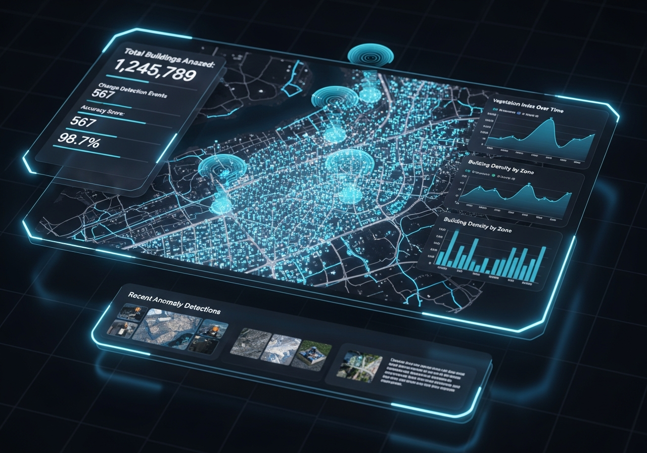
Mapping Rapid Urban Expansion for National Governments
A government planning agency required near real-time updates of building footprints and road networks to monitor explosive urban growth. We deployed a highly efficient semantic segmentation pipeline on weekly satellite imagery updates, maintaining precise vector maps across thousands of square kilometers.

Disaster Response
Rapidly assessing flood zones and hurricane damage to direct emergency services.
Urban Planning
Monitoring city growth and infrastructure development from satellite data.
Environmental Monitoring
Tracking glacial melt, coastal erosion, and illegal logging operations.
Defense & Intelligence
Identifying critical infrastructure and monitoring strategic asset movement.
More Success Stories
Explore how we solve complex data challenges.
Custom Collection of Scripted Utterance Speech Dataset
A leading company working in speech recognition and natural language processing technology approached us with the requirement of collecting a…
Custom Collection of Scripted Utterance Speech Dataset
A leading company working in speech recognition and natural language processing technology approached us with the requirement of collecting a…
Custom Collection of Scripted Utterance Speech Dataset
A leading company working in speech recognition and natural language processing technology approached us with the requirement of collecting a…